Aerial Mapping Classroom Project pdf
Tax included.
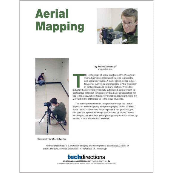
Photogrammetry has widespread applications in mapping and aerial surveying—but you don’t have to send students up in an airplane to teach it! This activity simulates aerial mapping and surveying in the classroom by turning it into a horizontal exercise. Note: This project appeared in the October 2008 issue of Tech Directions. It has been reformatted for easy classroom use. When ordered, a link to download this pdf will be emailed to you.